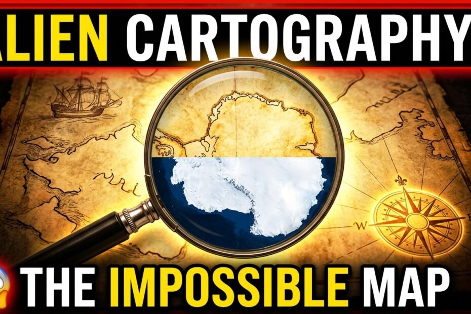
# The 500-Year-Old Map That Shouldn’t Exist: The Enigma of Piri Reis
In the autumn of 1929, amidst the dusty archives of Istanbul’s Topkapi Palace, German theologian Gustav Adolf Deissmann made a discovery that would baffle historians and geographers for the next century. Tucked away in a pile of disregarded relics was a single fragment of gazelle-skin parchment, signed and dated in 1513 by the Ottoman admiral and cartographer Piri Reis.
At first glance, it appeared to be a standard portolan chart of the Atlantic Ocean. But as researchers studied the faded ink lines, an unsettling realization took hold: the map depicted geographical details that no sixteenth-century human should have known.
With astonishing precision, the map illustrated the western coasts of Europe and North Africa, aligned seamlessly with the coastlines of Brazil. Even more startling was the bottom section of the parchment. Stretching across the southern Atlantic was a detailed coastline that many researchers identified as Queen Maud Land—a sector of Antarctica.
The historical problem is profound. Humanity did not officially sight Antarctica until 1820, more than three centuries after Piri Reis drafted his chart. Worse still for conventional history, the map depicted this southern landmass free of its permanent ice shelf—a geological state that has not existed for thousands of years.
How could an Ottoman naval commander map a continent locked beneath miles of ice centuries before modern polar expeditions?
The answer, according to Piri Reis himself, lay in his sources. In detailed margin notes written in Ottoman Turkish, the admiral candidly noted that he was not the original cartographer of these shores. Instead, he had synthesized his masterpiece from roughly twenty older source maps. Some of these included charts obtained from Christopher Columbus’s voyages, while others, Reis claimed, dated back to the library of Alexander the Great and the ancient Ptolemaic era.
In the 1960s, historian Charles Hapgood examined the map with the help of U.S. Air Force cartographers. Their analysis suggested the map used sophisticated spherical trigonometry, displaying knowledge of relative longitude that was thought impossible before the invention of the marine chronometer in the eighteenth century. Hapgood hypothesized that the source charts might be remnants of an advanced, forgotten seafaring culture that mapped the ice-free globe before recorded antiquity.
Skeptics argue that the landmass is simply an exaggerated coastline of South America curving eastward, or an imaginary depiction of Terra Australis Incognita. Yet, the precise topographical alignments and river mouths on the South American coast remain difficult to explain away as mere coincidence.
More than five centuries after its creation, the Piri Reis fragment remains one of archaeology’s most tantalizing enigmas. It sits as a silent witness to a haunting possibility: that our ancestors knew far more about the planet than our modern history books allow.
# पीरी रीस का रहस्यमयी नक्शा: 500 साल पुरानी पहेली
साल 1929 की एक ठंडी सुबह, इस्तांबुल के ऐतिहासिक तोपकापी पैलेस के पुराने तहखानों की धूल छंटाई जा रही थी। तुर्की के पुरातत्वविदों को वहां सदियों पुरानी पांडुलिपियों के बीच एक भूरे रंग का चर्मपत्र मिला, जो हिरण की खाल पर बना हुआ था। यह सन 1513 में उस्मानी (ओटोमन) साम्राज्य के नौसेना प्रमुख और प्रसिद्ध नक्शानवीस ‘पीरी रीस’ द्वारा तैयार किया गया एक नक्शा था।
शुरुआत में यह नक्शा अटलांटिक महासागर का एक सामान्य नौसैनिक चार्ट प्रतीत हुआ। लेकिन जैसे ही भूवैज्ञानिकों और इतिहासकारों ने इसकी बारीकियों की जांच शुरू की, उनके होश उड़ गए। इस 500 साल पुराने टुकड़े पर ऐसे भौगोलिक विवरण दर्ज थे, जो सोलहवीं सदी के किसी भी इंसान की पहुंच से पूरी तरह बाहर थे।
इस नक्शे में पश्चिमी यूरोप, उत्तरी अफ्रीका और ब्राज़ील के तटीय इलाकों को अद्भुत सटीकता के साथ दर्शाया गया था। लेकिन सबसे बड़ा झटका नक्शे के दक्षिणी हिस्से ने दिया। नीचे की तरफ एक ऐसा भूभाग चित्रित था, जो अंटार्कटिका के ‘क्वीन मौड लैंड’ के तटीय विस्तार से हुबहू मेल खाता था।
इतिहास की किताबों के मुताबिक, अंटार्कटिका की खोज आधिकारिक तौर पर 1820 में हुई थी—यानी पीरी रीस के इस नक्शे के बनने के तीन सौ से भी ज्यादा साल बाद। इससे भी अधिक चौंकाने वाली बात यह थी कि नक्शे में इस बर्फीले महाद्वीप को बिना किसी बर्फ की चादर के, नदियों और पहाड़ों के साथ दिखाया गया था। भूवैज्ञानिक साक्ष्य बताते हैं कि अंटार्कटिका पर ऐसी स्थिति केवल हजारों साल पहले हिमयुग के दौरान ही मौजूद थी।
सवाल उठता है कि 16वीं सदी के एक नौसैनिक कमांडर के पास बर्फ के नीचे दबे महाद्वीप का इतना सटीक खाका कहां से आया?
इसका जवाब खुद पीरी रीस ने नक्शे के हाशिए पर अरबी लिपि में दर्ज किया था। उन्होंने स्पष्ट लिखा था कि यह उनकी अपनी मौलिक खोज नहीं है, बल्कि उन्होंने इसे लगभग 20 पुराने नक्शों को जोड़कर तैयार किया था। इनमें से कुछ नक्शे क्रिस्टोफर कोलंबस के अभियानों से जुड़े थे, तो कुछ सिकंदर महान के दौर की प्राचीन यूनानी और अलेक्जेंड्रियाई पुस्तकालयों की पांडुलिपियों से लिए गए थे।
1960 के दशक में जब अमेरिकी वायुसेना के विशेषज्ञों ने इस नक्शे की गणितीय गणनाओं का अध्ययन किया, तो पाया गया कि इसमें आधुनिक ‘स्फेरिकल ट्रिगोनोमेट्री’ का इस्तेमाल किया गया था। इस स्तर की देशांतर गणना 18वीं सदी में ‘मरीन क्रोनोमीटर’ के आविष्कार से पहले संभव ही नहीं मानी जाती थी।
हालांकि कुछ इतिहासकार इसे दक्षिण अमेरिका के तटीय घुमाव की एक भ्रांति मानते हैं, लेकिन नक्शे की असाधारण सटीकता आज भी इस संभावना की ओर इशारा करती है कि प्राचीन काल में कोई ऐसा समुद्री समाज मौजूद था, जिसके पास हमारी कल्पना से कहीं ज्यादा उन्नत ज्ञान था। पीरी रीस का यह नक्शा आज भी इतिहास की अनसुलझी पहेलियों में सबसे ऊपर गिना जाता है।
# Piri Reis Ka Rahasyamay Naksha: Ek 500 Saal Purani Paheli
1929 ki baat hai. Istanbul ke mashhoor Topkapi Palace ke puraane records aur archives ko sort kiya ja raha tha. Wahan dhool mein lipte hue dher saare puraane documents ke beech se ek ajeeb sa chamde ka tukda mila. Ye gazelle (hiran) ki khaal par bana ek adha-adhura naksha tha, jise saal 1513 mein Ottoman Navy ke Admiral aur mashhoor cartographer Piri Reis ne draw kiya tha.
Pehle toh sabko laga ki ye us daur ka ek normal Atlantic navigation chart hoga. Lekin jab researchers aur geographers ne iski barikiyon ko study karna shuru kiya, toh unke hosh ud gaye. Is 500 saal puraane nakshe par aisi geographical details bani hui thi, jo 16th century ke kisi insaan ke liye janna technically impossible tha.
Nakshe par Western Europe, North Africa aur Brazil ke coastlines itni zabardast accuracy ke sath banaye gaye the ki aaj ke modern satellite maps se bhi match karte hain. Lekin sabse bada jhatka nakshe ke bottom part ne diya. Wahan ek lambi zameen ki patti dikhayi gayi thi, jo Antarctica ke ‘Queen Maud Land’ coastline se bilkul match karti hai.
Ab yahan par aakar puraani history confuse ho jaati hai. Insaniyat ne Antarctica ko officially 1820 mein discover kiya tha—yaani Piri Reis ke ye naksha banane ke lagbhag 300 saal baad! Aur baat sirf itne par hi khatam nahi hoti. Nakshe mein Antarctica ko barf se dhaka hua nahi, balki bina ice sheet ke, pahaadon aur daryao ke sath dikhaya gaya tha. Science ke mutabiq Antarctica is haalat mein sirf hazaaron saal pehle, aakhiri Ice Age ke dauran tha.
Toh sawaal ye uthta hai ki 1513 ke ek Ottoman Admiral ko us zameen ke baare mein kaise pata chala jo meelon moti barf ke neeche dafan thi?
Iska jawab khud Piri Reis ne nakshe ke kinaare notes mein likha tha. Usne saaf bataya ki ye naksha uska apna banaya hua original design nahi tha, balki usne 20 alag-alag puraane charts ko combine karke ise banaya tha. Unme se kuch maps Christopher Columbus ke safar ke the, jabki kuch charts Alexander the Great ke daur ke aur Alexandria ki ancient library ke daastawezon se liye gaye the.
1960s mein US Air Force ke cartographers ne jab iski mathematical geometry ko check kiya, toh paya gaya ki isme spherical trigonometry aur advanced longitude calculations ka use hua tha—jo technology 18th century se pehle officially exist hi nahi karti thi.
Kuch critics maante hain ki ye shayad South America ke coastline ka ek exaggerated projection hai. Par jo accuracy isme dikhti hai, wo aaj bhi ek bada sawaal khada karti hai: Kya hazaron saal pehle koi aisi advanced seafaring civilization thi jiska record modern history se gayab ho chuka hai? Piri Reis ka ye naksha aaj bhi duniya ke sabse bade uncracked mysteries mein se ek hai.